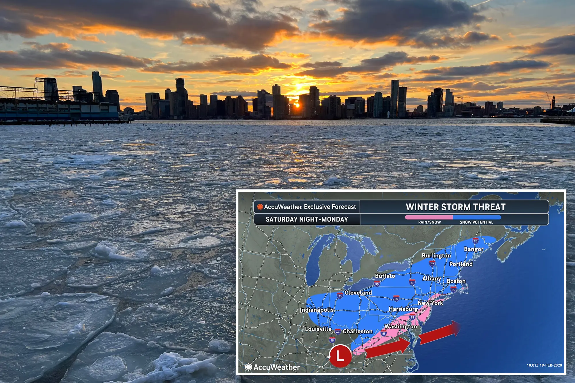


A bomb cyclone could hit the New York City area this Sunday, potentially dumping up to a foot of snow, meteorologists warned.
AccuWeather forecasters say snowfall totals could range widely, from just a dusting to as much as 12 inches. “Anywhere between zero and a foot is possible,” said meteorologist Alex DaSilva.
In a worst-case scenario, New York could see 6 to 12 inches of snow, rivaling the January 25 storm that buried Central Park under 11.4 inches. “It would absolutely make Monday morning commutes very messy,” DaSilva added.
The storm could also bring sustained winds up to 40 mph, potentially causing travel disruptions. Forecasters expect the system to move past the area by Monday afternoon.
Experts say they’ll be able to track the nor’easter more precisely and provide updated forecasts by Thursday, as small shifts in the storm’s path could dramatically change snowfall amounts.


New York City remains buried under snow from a late January storm, even as a new nor’easter threatens the region. The potential storm could extend as far south as New Jersey and Pennsylvania and reach as far north as Maine, forecasters said.
The possible snowfall follows a fresh inch of snow that fell Monday morning, adding to the city’s existing piles of snow—many of which are now dirty and mixed with debris from the previous storm.